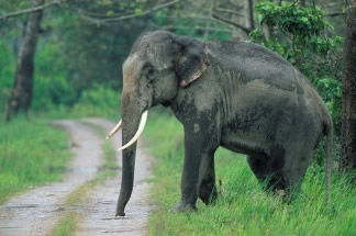
The areas bordering national parks and reserves are usually rich in natural flora and fauna. The abuse of the biodiversity is also greatest in these areas as they do not fall under any protection frame. But now the forest department is trying to map the land use pattern within a radius of 10 km around national parks so as to protect these biodiversity areas and ecological corridor links.

